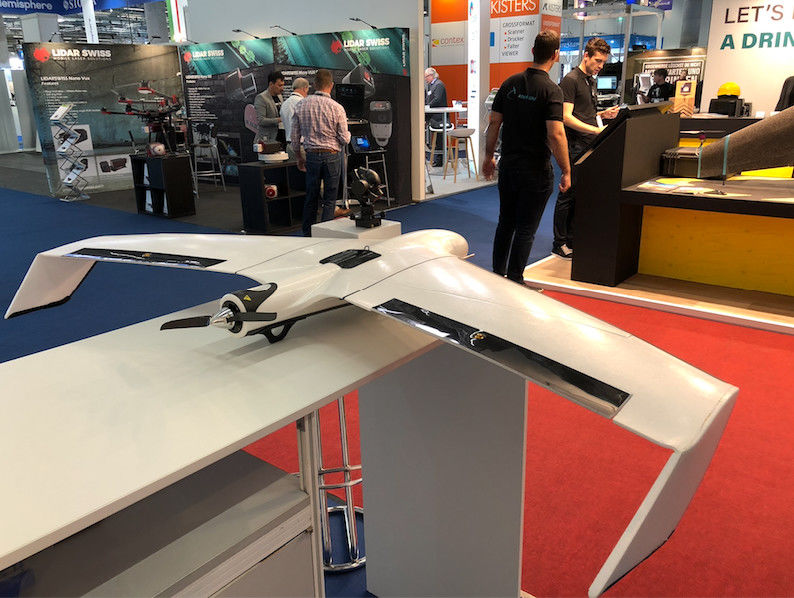
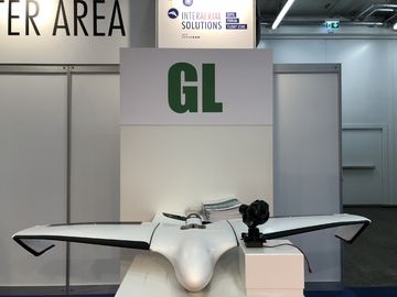
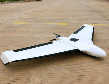
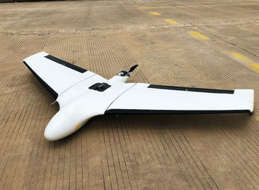
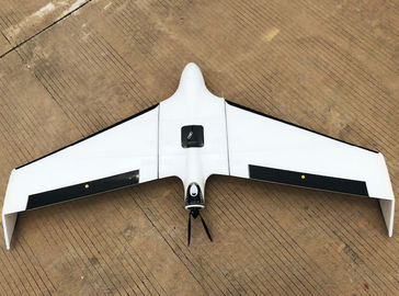
Mapping Surveying and Draw Fixed Wing Drone Easy to Control Automatically Calculate Flight Altitude And Routes
1. Smart Planning;Smart Take-Off;Smart Landing
2. One-man operation/Extraordinary endurance;No need of ground control points(The RTK Edition)
3. It's really safe,reliable and durable.Really cost-effective for consumers.
4. Automatic and safe precision landing within a five-merter radius with thrust reverse control algorithm
Specifications:
Body Length:0.7m
Wingspan:1.5m
Height:0.13m
Dimensions:98cm*36cm*46cm
Weight(with Camera):2.5Kg with battery ;1.6Kg without battery
Battery: 14.8V 10000mah
Propulsion:500W Motor
Cruise Speed:70KPH
Range:90KM
Weather Limit:6Level Wind and Light Rain
Maximum Ceiling:4000M
Control Mode:Auto
Take off/Landing: Throw into the air/Auto Landing
Landing Space:5 meters radius circle
GNSS Reciever: L1/L2 GNSS (GPS,GLonass,Beidou)
Communication&Control Frequency:915M(FHSS)
Communication&Control Range:30KM
Transmit Power:1W
Precision Parameters
Standard Camera:Sony ILCE-QX1(20.1million pixels APS-C sensor)
Standard Lens: Sony E20mm f/2.8
Maximum Resolution:1.5cm
Standard 's Absolute Accuracy(No ground control points):
Horizontal:0.8M--2M Vertical: 1M--2.5M
Standard 's Absolute Accuracy(with ground control points):
Horizontal:3CM Vertical: 5CM
RTK Edition's Absolute Accuracy(No ground control points):
Horizontal:3CM Vertical: 5CM
Raletive Accuracy:
Horizontal :1--3X GSD Vertical:1--5X GSD
Area Coverage Table Per Flight
GSD Height Area
1.5cm 70m 2.0sq.km
5.0cm 235m 6.1sq.km
10.0cm 470m 11.8sq.km
15.0cm 760m 17.6sq.km
20.0cm 940m 22.2sq.km
Videos Shares
https://youtu.be/zsLWkecxQ0A

 Your message must be between 20-3,000 characters!